Met Office verdict on when UK’s sub-zero freeze and snow will end
UK Weather: Met Office issue yellow warning
We use your sign-up to provide content in ways you’ve consented to and to improve our understanding of you. This may include adverts from us and 3rd parties based on our understanding. You can unsubscribe at any time. More info
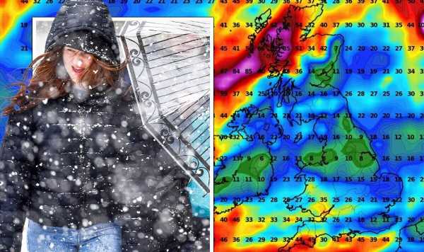
The Met Office has said there is growing confidence behind a milder stream coming across the UK by next week, it has told Express.co.uk. Many parts of the country have been blanketed in snow this weekend, making for treacherous conditions today. Flights have been grounded, cars stranded, schools closed and train lines halted as the nation struggles with the icy conditions and plunging temperatures. While the cold mercury is set to remain until at least the end of the week, many who are struggling to heat their homes will be desperate for milder conditions to return soon – especially after a warmer than normal autumn.
The Met Office has said temperatures will start to increase for some areas from next week, which may also dash the chances of a white Christmas for many regions. Met Office spokesman Nicola Maxey told Express.co.uk: “The weather will stay cold this week with daytime temperatures not getting much above freezing for many and a continued fog and ice risk.
“This week we will see the greatest risk of snow and wintry showers around the northern eastern coasts, with inland areas seeing some brighter, sunnier weather at times. The cold weather will last into next weekend but there are indications that we will see temperatures rising as we go into next week with a return to milder weather from then.”
But before this week ends, more sleet and snow will fall and overnight frosts have been labelled as being “severe in places”. Met Office chief meteorologist, Matthew Lehnert, said: “The cold conditions will remain in situ during this week. In many places daytime temperatures will struggle to get above freezing, while overnight temperatures have the potential to drop below -10 C in rural parts of Scotland.”
“During today many national severe weather warnings are in force for ice over south-east England with a warning of snow and ice for northern Scotland. Warnings for snow and ice will continue to be a feature of the forecast until the end of the week.”


“By the end of the weekend there is a signal that we may see a shift in type away from the Arctic-dominated conditions with milder and wetter weather coming in from the Atlantic. This transition could bring the risk of significant, but highly transient, snowfall before quickly turning to rain.
“While the freezing conditions remain, drivers especially are reminded that freezing fog, snow and other wintry hazards will continue to create difficult conditions in places this week.” The Met Office added on Twitter: “With northerly or northeasterly winds expected through the remainder of the week, we are expecting temperatures to remain low. Top temperatures will only rise a few degrees above freezing for many.”
Looking ahead towards the Christmas period and beyond, especially into the first week of January, more unsettled weather conditions are on the horizon. From this Saturday to Boxing Day, the forecaster’s long range forecast says: “Cold conditions are still expected at the start of this period, with wintry showers in places, most frequent in the north and west.
“Drier further southeast with some sunshine, but also hard overnight frosts.However, a change to milder and more unsettled weather is soon expected, probably during the first Sunday, as an area of cloud, rain and strong wind sweeps across much of the UK, with a period of snow on its leading edge for many regions.


“Beyond this, details become more elusive but it is likely to remain changeable with periods of rain and strong wind interspersed with drier, more settled spells. Although below average temperatures are still possible at times, especially across the north, overall it should remain less cold than at present.”
Between Christmas and New Year and up until January 9, however, the risk of snow remains. The Met Office adds: “General themes remain uncertain for the rest of the period. Conditions may be widely changeable, with some spells of rain, and at times snow.
“Colder and more settled conditions with occasional wintry showers could continue, particularly in the north, with the south possibly seeing more unsettled conditions. T
“Temperatures staying colder than average towards the end of December and start of January, although perhaps less cold in the south.”
People travelling at dusk or dawn, when overnight frosts will be the most dangerous, are warned to take extra precautions and keep an eye on the weather forecast. Darren Clark, severe weather resilience manager at National Highways, said: “Gritters continue to undertake salt spreading over the coming days where needed during the first significant operation of this autumn and winter season on motorways and major A-roads amid colder temperatures across the country.”
Dr Agostinho Sousa, Consultant in Public Health Medicine at UKHSA, added: “Cold weather can have serious consequences for health, and older people and those with heart or lung conditions can be particularly at risk.
“If you have a pre-existing medical condition, you should heat your home to a temperature that is comfortable for you. In rooms you mostly use such as the living room or bedroom, try to heat them to at least 18C if you can. Keep your bedroom windows closed at night. Wearing several layers of clothing will keep you warmer than one thicker layer.”
Source: Read Full Article

