Maps show exact day new wave of snow will hit Britain this spring
Met Office weather: Aidan gives forecast fir UK weekend weather
We use your sign-up to provide content in ways you’ve consented to and to improve our understanding of you. This may include adverts from us and 3rd parties based on our understanding. You can unsubscribe at any time. More info
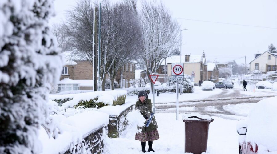
A fresh wave of chaos could hit the UK again in a matter of weeks, as more snow showers are predicted to arrive over Britain. March has already seen snow in some areas of the UK, with freezing conditions sparking weather warnings for all four corners of the nation. But this may not be the end of the cold weather as the latest weather maps show several centimetres of snow falling in some areas before April begins.
From around March 29 – which is next week – weather maps show that temperatures are set to plunge below zero, possibly going as low as -10C in northern Scotland.
The mercury will drop to around -1C in southern areas in what looks set to be a colder than usual end of March. Temperatures look set to remain on the low side heading into April, with the possibility of some unseasonable spring snow.
WXCharts latest maps show several centimetres of snow falling in northern parts of Scotland, with southern areas seeing lighter precipitation.
Forecaster Nick Finnis, from NetWeather, said the UK should expect a mild period followed by a cold end to the month.


Mr Finnis wrote in his blog: “Unlike recently, it looks to be mostly mild over the next 10 days, with temperatures above average.
“Low pressure looks to dominate during this period, the lows and their associated frontal systems will move in off the Atlantic at times, bringing spells of rain east or north-east, interspersed by brighter but showery weather.
“Cold polar air will never be too far away to the north of northern Scotland, with potential for this cold air to spread down across at least the north of Scotland but perhaps further south in the wake of low-pressure systems which manage to clear east of the UK.
“If this cold air does move south, it will mean areas of rain moving in off the Atlantic will turn to snow over the higher ground of Scotland, with a risk of frost and ice when skies clear.”


A Met Office long range forecast for the end of March said the UK was set to experience a “quick change” in weather conditions. They said the UK was going to experience “cyclonic conditions”.
The latest update from the Met Office, from March 24 to April 2 said: “Friday is likely to be unsettled with showers for all, these perhaps heavy and thundery at times.
“Showers in the north potentially turning wintry over high ground. A lower risk of organised rain with strong winds at first in the southeast.
“Staying unsettled into the weekend, colder conditions are likely to move in from the north, possibly bringing an overnight frost risk.
Don’t miss…
Weather charts show wall of snow as Britain to be plunged into freeze [FORECAST]
Thunderstorms and flooding warning issued as heavy rain batters UK [LATEST]
Cyclonic weather conditions set to batter UK as more snow set to come [REPORT]
“The best of any dry weather most likely in the east. Later, the weather is likely to remain unsettled, with periods of strong winds and rain, interspersed with shorter drier spells.
“Perhaps a trend for the wettest weather to be in the south. Temperatures likely close to average in the south, but rather cold in the north, with a risk of wintry conditions here.”
Source: Read Full Article

